Apalachicola River Water Management Area
Camping Reservation System |
Property Map |
Interactive Recreation Map |
Overview
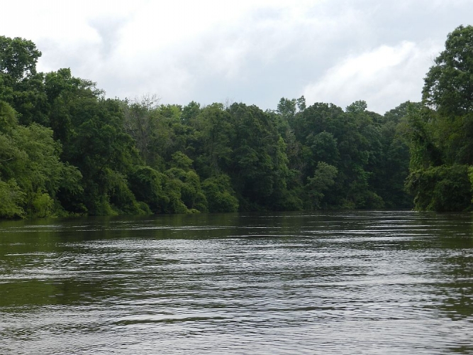
The Apalachicola River Water Management Area (WMA) runs 19 miles along the Apalachicola River in Gulf and Liberty counties. The WMA is located east of Wewahitchka and west of the Apalachicola National Forest and includes the Florida National Scenic Trail. One hundred miles of paddling trails extend through this area. The Apalachicola River, Florida first in flow, has been described as the lifeblood of many basin communities and is recognized as one of the six most biodiverse regions of the United States. It was also a final frontier for Indian and settler battles. Early botanists traveled intrepidly in these exotic woods, discovering plants new to science. Here northern plants, descending on the current, met southern plants ascending during climates shifts. They reproduced, evolved, and dispersed, creating a botanical Eden. Large portions of the river’s forested floodplain, also Florida’s largest, are protected by state and federal governments, and private entities. The basins range of habitats gives it the highest species density of amphibians and reptiles on the continent, north of Mexico. It is home to 135 listed species tracked by the Florida Natural Areas Inventory. Between blended forests of cypress gum, beech, and saw palmetto, the river rolls, ample in wet season, exposing a sandy shore during dry season.
Environmental Importance
The thousands of acres of river floodplain that make up the Apalachicola River WMA were purchased to preserve and protect the water resources of the Apalachicola River.
Location
Counties: Gulf, Liberty Nearby City/Town: Wewahitchka
Recreation Opportunities
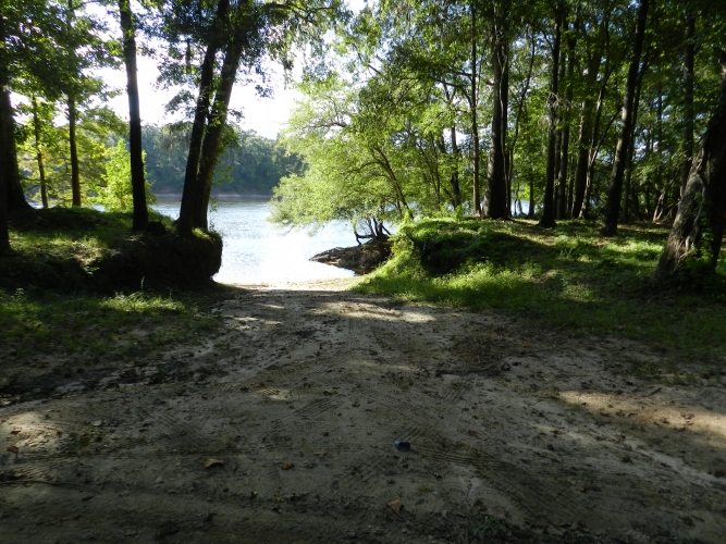
- Camping, RV’s, picnicking, boat ramp, fishing, canoe launch, canoeing, hiking, biking, wildlife viewing
- Seasonal hunting
Restrictions
ATV’s are prohibited.
Motorized vehicles allowed on designated roads only.


