
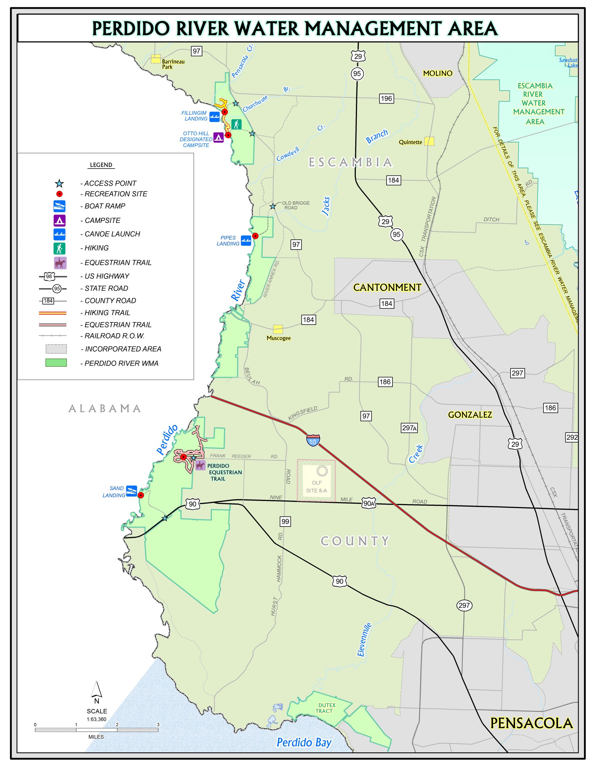
Sand Landing
Google Map
View Sand Landing in a larger map
Location: 10848 Mobile Hwy, Pensacola, FL 32526
County: Escambia Nearby Town: Pensacola
Latitude/Longitude: 30.537582, -87.439982
Notice of temporary closure
Reeder Loop Road in the Perdido River Water Management Area is closed for road repairs. Sand Landing can still be accessed from Highway 90.
Overview
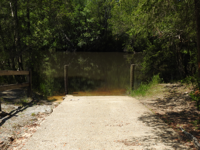
Located approximately 11 miles southwest of Cantonment and 21 miles northwest of Pensacola, Sand Landing is a day-use area that features a concrete ramp for small trailer-boats.
The landing also features a picnic table, pedestal grill, and portable toilet.
This is the only boat ramp accessing the Perdido River from Northwest Florida Water Management District property.
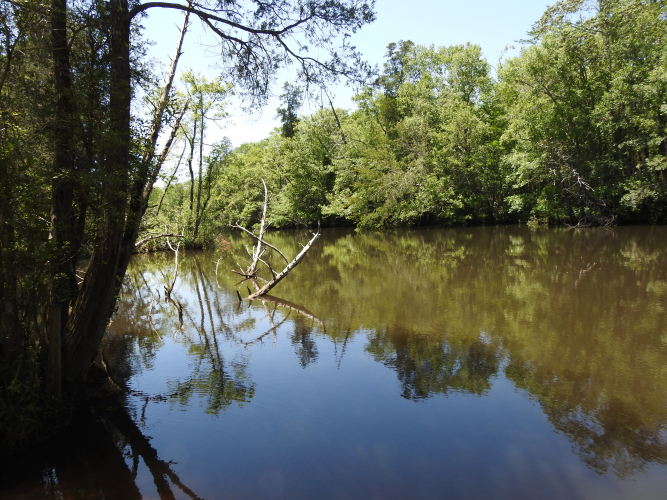
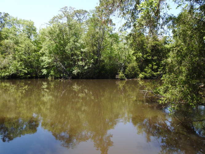
The Perdido River, which is designated an Outstanding Florida Water and Special Water System, flows about 63 miles from southern Alabama to Perdido Bay, forming Florida’s western border with Alabama.
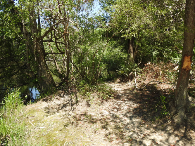
The upper part of the river is a shifting sand river system, which is unique to portions of northwest Florida, south Alabama, southern Mississippi, and extreme eastern Louisiana. The lower end of the river is deeper with a slower-moving channel.
The Perdido is a tannin-stained blackwater stream in its lower reaches where rapidly disappearing pitcher plant bogs, threatened gopher tortoises, migratory neotropical birds, and stands of Atlantic white cedar trees can all still be appreciated.
According to the Florida Fish and Wildlife Conservation Commission, the Perdido River and its tributaries are home to several species of rare and imperiled fish including the saltmarsh topminnow and the Gulf sturgeon.
The Northwest Florida Water Management District manages 6,261.22 acres of public lands in the Perdido River Water Management Area.
Recreation Opportunities
- Picnicking, restrooms, boating, fishing, canoe launch, canoeing, hiking, wildlife viewing
Restrictions
No ATV’s allowed.
Motorized vehicles allowed on designated roads only.
Alcoholic beverages prohibited.