Chipola River Water Management Area
Camping Reservation System |
Property Map |
Interactive Recreation Map |
Overview
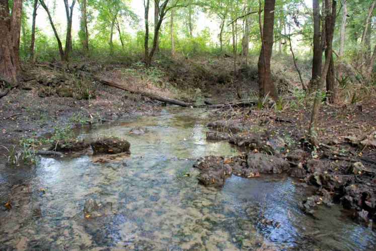
The Chipola River Water Management Area runs close to 18 miles along the Chipola River. The river is a tributary of the Apalachicola River that crosses Jackson, Calhoun, Franklin, Gadsden, Liberty, and Gulf counties and flows into the Dead Lakes States Recreation Area just before reaching the Apalachicola. The Dead Lakes were formed when the Apalachicola deposited sand bars blocking the mouth of the Chipola. The Chipola flows for several miles south from the Dead Lakes parallel to the Apalachicola before finally joining it. As the river flows out of the Dead Lakes, it connects with the Chipola Cutoff. This stretch of the river flows down from the Apalachicola River. The Chipola River Canoe Trail begins at the Florida Caverns State Park in Marianna and continues through river swamps and hardwood forests where alligators, turtles, beavers, rare and endangered plants and animals can be seen along the Chipola.
Environmental Importance
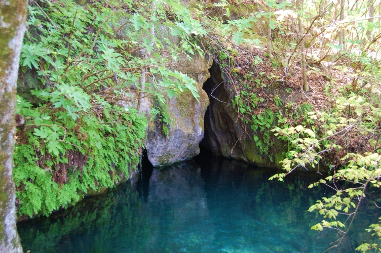
The Chipola River has over 60 fresh water springs, the largest number of any river in Northwest Florida. Springs provide natural, recreational and economic benefits.
Location
Counties: Calhoun, Jackson Nearby City/Town: Marianna, Blountstown
Recreation Opportunities
- Camping, RV’s, picnicking, boat ramp, boating, fishing, canoe launch, canoeing, hiking, wildlife viewing
- Seasonal hunting
Restrictions
Alcoholic beverages are prohibited.
ATV’s are prohibited.
Motorized vehicles allowed on designated roads only.


