Overview
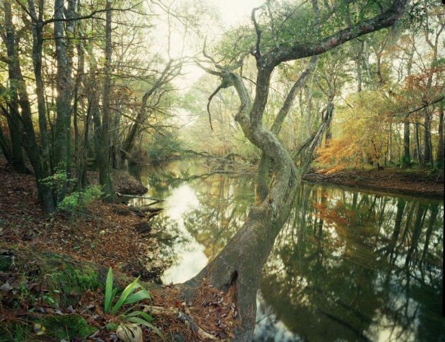
The Choctawhatchee River and Bay watershed drains a vast 5,350 square miles, less than half of it in Florida. An alluvial river, it is characterized by a broad flood plain, seasonal flooding, and a heavy sediment load. Its old growth bottomland hardwood forests have drawn ornithologists searching for the elusive ivory-billed woodpeckers. The fourth longest river in Florida and the third largest in flow, its major tributaries in Florida are Holmes, Wrights, Sandy, Pine Log, Seven Run and Bruce creeks. The River flows through the Doughtery Karst Plain and boasts at least 13 springs in numerous spring-fed tributaries.
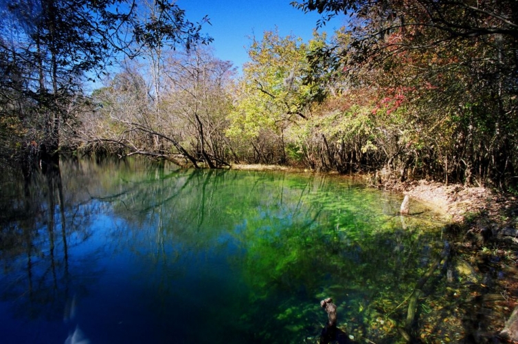
Holmes Creek provides among the most diverse habitats and richest variety of fish and mollusks in the Choctawhatchee River basin. Its lower reach swells with azure springs, increasing average flow and providing distinctive stream havens for fish, reptiles, and mollusks. A major summer congregation area for the federally-protected Gulf Sturgeon is just below the Holmes Creek confluence with the Choctawhatchee River.
Most of the area consists of floodplain forests with access primarily by boat. There are numerous boat landings along the river and creek.
Environmental Importance
The Choctawhatchee River and Holmes Creek Water Management Area provides habitat for a variety of native wildlife, including several endangered plant and animal species. The river serves as a breeding and migratory area for Alligator Gar and the federally-threatened Gulf Sturgeon.
Location
Counties: Washington, Holmes, and Walton Nearby City/Town: Vernon, Bonifay, Chipley
Recreation Opportunities
- Camping, RV’s, picnicking, mobility, boat launch, boating, fishing, canoe launch, canoeing, hiking, wildlife viewing
- Seasonal hunting
Restrictions
ATV’s are prohibited.
Motorized vehicles allowed on designated roads only.
Alcoholic beverages prohibited on Holmes Creek.