Perdido River Water Management Area
Camping Reservation System |
Property Map |
Interactive Recreation Map |
Overview
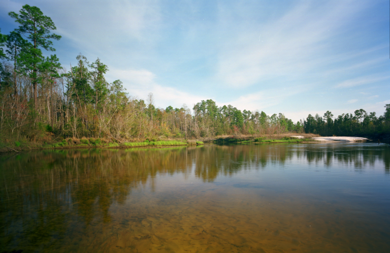
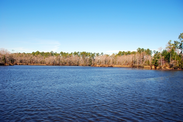
The Perdido River flows about 63 miles from southern Alabama to Perdido Bay, forming Florida’s western border with Alabama. The Perdido is a tannin-stained blackwater stream in its lower reaches where rapidly-disappearing pitcher plant bogs, threatened gopher tortoises, migratory neotropical birds, and stands of Atlantic white cedar trees can all still be appreciated. The project area is mostly undeveloped and contains a diverse list of species.
Environmental Importance
The Perdido River has been designated an Outstanding Florida Water and Special Water system, a canoe trail, and a recreation area. The upper part of the river is a shifting sand river system, which are unique to portions of northwest Florida, south Alabama, southern Mississippi and extreme eastern Louisiana, while the lower end of the river is characteristic of a black water stream, a river with a deep, slow-moving channel.
Location
Counties: Escambia Nearby City/Town: Pensacola
Recreation Opportunities
- Camping, picnicking, boat launch, fishing, canoe launch, canoeing, hiking, horseback riding, wildlife viewing
- Seasonal Hunting
- The river forms large sand bars, which are enticing to paddlers, swimmers, hikers, and sunbathers.
Restrictions
ATV’s are prohibited.
Motorized vehicles allowed on designated roads only.
Alcoholic beverages prohibited.


