East Pittman Creek
Google Map
View East Pittman Creek in a larger map
Location: South end of Choctawhatchee Lane, 2248 Hwy 2
County: Holmes Nearby Town: Pittman
Latitude/Longitude: 30.947681, -85.843037
Overview
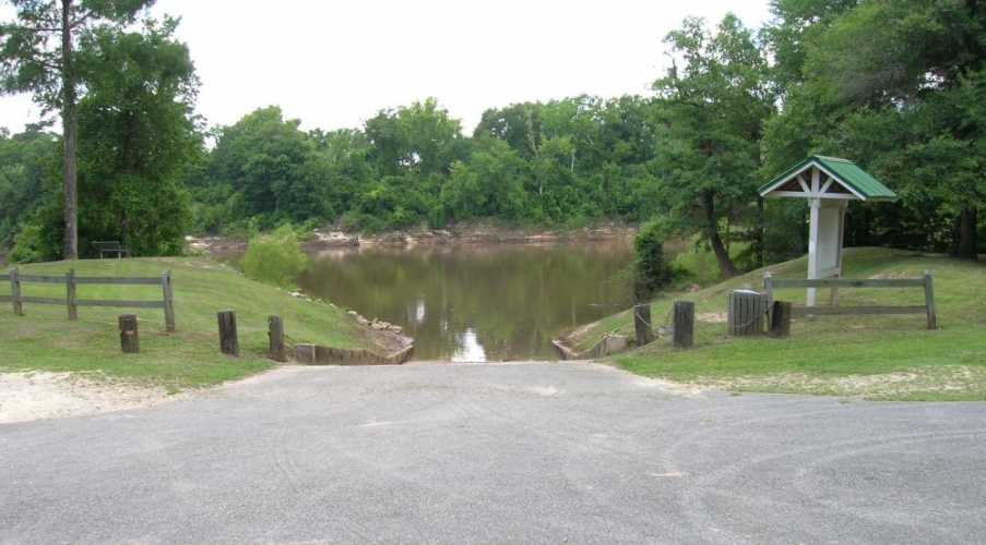
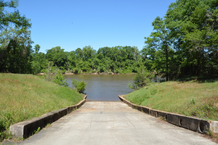
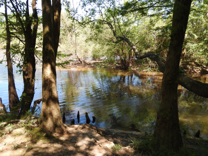
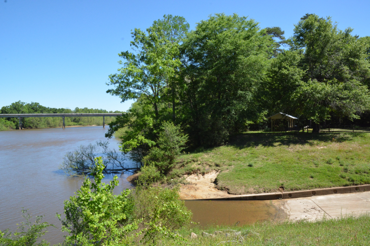
Located approximately 16 miles north of Caryville and accessed via Highway 2, East Pittman Creek is located in a park on a small bluff overlooking the Choctawhatchee River.
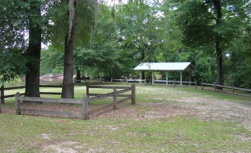
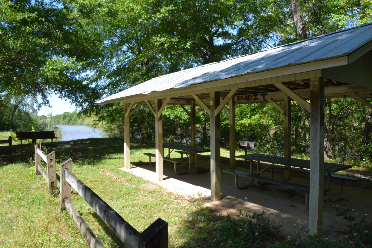
The recreation site offers a pavilion, two picnic tables, a grill, a portable toilet, and parking for as many as 20 vehicles in a large, grassy field.
A short walking path to the right of the pavilion leads to several spots popular for swimming or fishing.
The Choctawhatchee River is considered the third-largest in the state in volume of water discharged and provides nearly 90 percent of the freshwater in Choctawhatchee Bay.
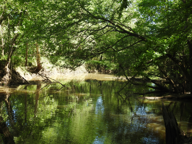
The river is also a Florida Designated Paddling Trail and East Pittman Creek Landing is the northern-most point on the Trail.
Anglers will find the Choctawhatchee River filled with a variety of fish, including striped bass, hybrid striped bass (sunshine bass), largemouth bass, bream, bluegill, shellcracker, crappie, catfish, and many other species.
Recreation Opportunities
- Picnicking, boat launch, boating, fishing, canoe launch, canoeing, wildlife viewing
Restrictions
No ATV’s allowed.
Motorized vehicles allowed on designated roads only.


